Road Trip - Bryce Canyon
We're off. We rolled out of bed at 'o-dark thirty, threw all our gear in Big Gulp and started the three and a half hour drive to Bryce Canyon. As the sun rose we could see that the heavy skies from the day before had cleared, but just barely. A large wall of clouds were on the horizon just to our north, we were following the tail-end of the storm system that had been plaguing us for the past several days.
 |
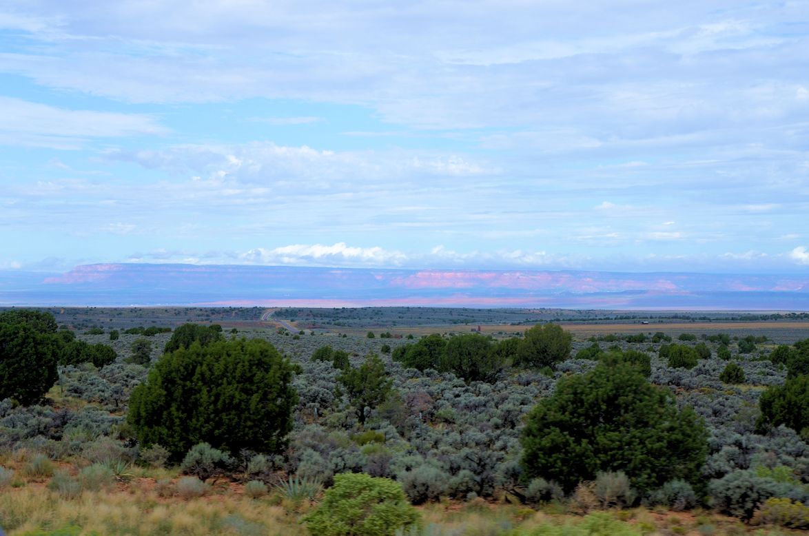
| Looking back over our shoulder from the valley floor we could see the three thousand foot descent we had made getting off the Kaibab Plateau. |
Glaziers was at the point where highway 89A becomes highway 89, the two highways that we use almost the whole way to Bryce. It cuts a north-south line through the middle of Kanab and seems to be a place where the geography shifts from the distinct layers of river-cut canyons with sharp features to a more smooth and rounded landscape. We shuffled through the isles and made mental notes of what Glazier's stocked, not making any purchases, with one exception - I bought more mouse traps.
Walking out of Glazier's, Cyndee spied a gift shop across the highway. She made a bee-line over there. Dean and I got Big Gulp and drove it to the Chevron station next door. Fuel was a little cheaper than up on the North Rim, but not by much.
While fueling up, my phone started jingling to let me know it was receiving email. Hey!, we have a cell signal. Wow. A very important email that came was one letting me know that there was a sale on my favorite pair of workpants. Seriously, these are some great workpants. They come from Duluth Trading Co. and are made of fire hose canvas. But they are so dang expensive that I have only allowed myself one pair. And that one pair is getting a workout. I wear them every day that we are on duty for fire pit cleaning. It is a pretty dirty job and the pants have to get washed every day they are worn. It is pretty tight timing to be able to get the day's work done (on duty 'til 10pm), get them washed and hung to dry (can't put them in the dryer for fear of shrinking in leg length) so they are ready to wear by 6am the next morning. Now, with a pretty good sale price I can rationalize a way to exceed my clothing budget and get another pair. So one phone call later to Minnesota and I have a pair of pants for me and a pair of pants for Cyndee and a leather belt for me (the one I am wearing is in its last notch and loose). When I blow a budget I go all out.
At this point I have lost track of time. I quit wearing a watch the week after I retired, about all I really need to know is what day of the week it is and whether it is time for breakfast, lunch or supper. Can't have missing any meals. But we have been in Kanab somewhere between one and two hours, time to get a move on.
Arriving in the village of Bryce Canyon we drove straight to the hotel to get checked in and drop our things in the room. We are staying at Ruby's Inn, a Best Western affiliate. But practically everything in town has Ruby's name on it. Reuben (Ruby) Syrett was a classic entrepreneur, he identified gaps in what people needed or wanted and filled those gaps. What he started as a small ranch in 1916, without even knowing that Bryce Canyon was just a few miles through the forest, soon became the place for Bryce Canyon visitors.
Out to the canyon we go. The drive is short and winds its way through a ponderosa pine forest much like what is on the North Rim. But once we get to the rim and first view points it is clear that this is a very different, and unique geology.


While not as pronounced as the Grand Canyon or even Palo Duro Canyon in Texas, there is strata. This area too was once the floor of a shallow sea, its sediment almost all sandstone.
While the erosion may not have washed away soft sand in a big rain yesterday, as far as rocks go these are pretty soft. And in places some are softer than others as witnessed by these shallow caves in the cliff face.
The next two shots are panoramics from the same area as the above photos. You really need to click on them and go as full screen as you can to get your moneys worth.
 |
| I caught this Stellar Jay perched on a park sign. This is shot through the windshield of Big Gulp and an encroaching fog and misty rain. Check out the crest on this robber-bird. |
 |
| Look closely, in the bottom and you can see a trail blazed through the trees. If the weather holds, we will be riding that trail tomorrow. |
 |
| Hey, look! Our raven friend from the petrified forest followed us to Bryce. Just like at the overlooks in Arizona, the ravens at Bryce have learned to hang out and beg for food here too. |
 |
| Panoramic perspective of Natural Bridge |


We stayed in Panguitch during our visit last year. A little further drive, but SO much cheaper.
ReplyDeleteJLS